-
Past ETC Papers
Browse, search and view papers from the past AET Conferences.
-
Members' Area
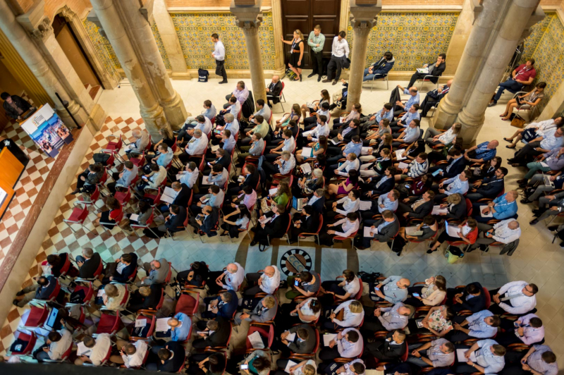
AET promotes networking and exchange of ideas, information and opportunities amongst members.
Conference Papers 2018
Dublin, Ireland
ETC Conference Papers 2018
Improved GIS-based tool for bicycling speed estimations
Seminar
Day 3 (12 Oct 2018), Session 8, Modelling Bikes, 09:00 - 10:30
Status
Accepted, documents submitted
Submitted by / Abstract owner
Petter Arnesen
Authors
Bendik Manum, Norwegian University of Science and Technology (NTNU) Faculty of Architecture and Design, and Oslo School of Architecture and Design (AHO)
Petter Arnesen, SINTEF Technology and Society
Tobias Nordstrom, Norwegian University of Science and Technology (NTNU) Faculty of Architecture and Design, and Spacescape
Jorge Gil, Chalmers University of Technology, Department of Architecture and Civil Engineering
Short abstract
This work combines tools and measures from two recent bikeability modelling studies to develop a joint model for estimation of bicycle speed profile
Abstract
For reasons ranging from carbon emissions to public health, traffic planning as well as urban design aim to increase the modal share of bicycling on the cost of fossil fuel based commuting. However, most urban and traffic planning practices handle bicycling very schematically. Typically, tools for analyzing bicycling rely on fixed speed templates, paying little attention to the fact that bicycling speeds vary a lot depending on type of bicyclist and explicit properties of bicycle routes and the contexts of those routes. As long as very simplified assumptions form the basis for analysis, it is hard to make reliable comparisons of alternative proposals of urban form layouts and infrastructure investments. Therefore, from the perspective of traffic planning as well as from the perspective of urban planning and design, there is need for more refined methods for predicting bicycling speeds. This paper presents an outline for such a bicycling speed modelling tool.
This work combines tools and measures from two recent bikeability modelling studies. One is an urban form based study of bicycle route networks, grasping issues related to geometrical directness of routes and various measures of accessibility and density. The other calculates likely speeds based on horizontal and vertical geometry of routes. The latter model uses an advanced statistical model to grasp dependence between adjacent road segments. The new combined model is estimated using GPS tracking of real bicycle trips in combination with GIS-based data of bicycle route networks and of the local contexts of the routes.
More in detail, the new model includes parameters estimated for the following covariates:
• route geometry (by slope and by horizontal curvature)
• intersection impedances derived from type of junction (by presence of signal-crossings and by kinds of crossing streets categorized by amounts of traffic)
• type of bicycle-route (bicycle lane in street, separate bicycle lane, combined walk- and bicycle lane or mixed-use streets)
• kind of surface (smooth surface or gravel)
• density of entrances along route (a proxy for slower bicycling due to urban/vibrant context)
The modelling is based on so-called Markov-dependence, including that the covariates are used to estimate continuous speed profiles along entire routes, and not only average speed levels on road segments seen separate and independent. Through this, the new model results in more realistic speed estimations than the previous models. The paper presents the result from applying the tool on a sample of bicycle routes in Gothenburg and compares the results with analyses from previous models and with empirical data of bicycling along the same routes.
Programme committee
Transport Models
Topic
Mobility for Liveable Cities, including Urban Mobility, air quality, health and active travel
Documents:
Association For
European Transport
Forester House
Doctors Lane
Henley-in-Arden
Warwickshire, UK
B95 5AW
+44 (0) 15 64 793552
VAT number: 710 1866 64
Conference Supporters & Endorsers


Legal Entity
The Association for European Transport is registered as an Association ('vereniging') with the Chamber of Commerce for Haaglanden in The Netherlands under company number 27170096.
Built on Zenario

