-
Past ETC Papers
Browse, search and view papers from the past AET Conferences.
-
Members' Area

AET promotes networking and exchange of ideas, information and opportunities amongst members.
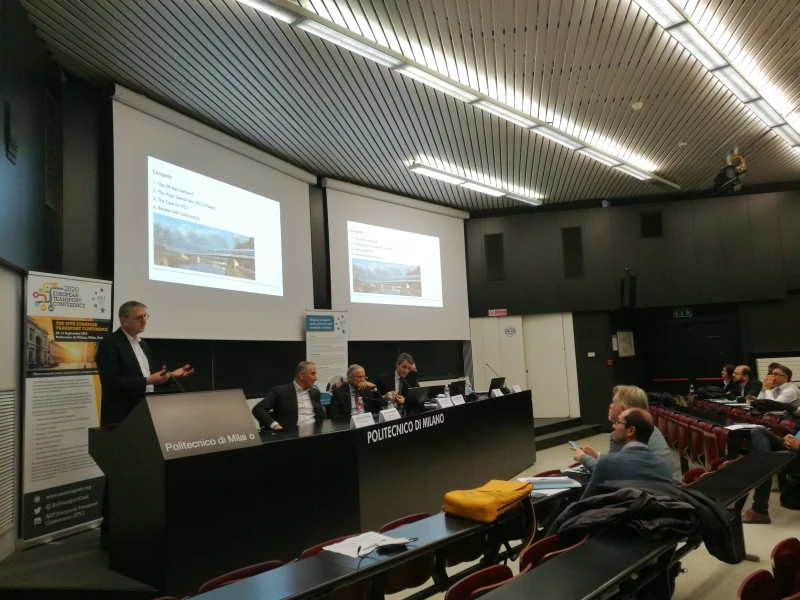
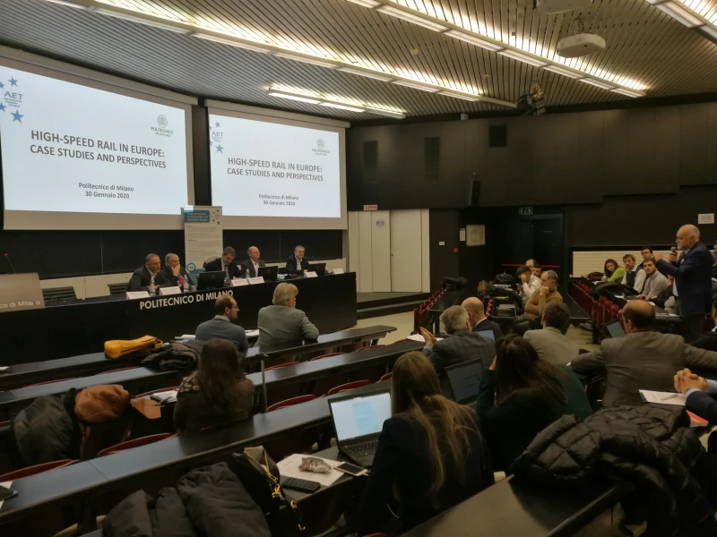
ETC Conference Papers 2021
Analyzing changes in travel patterns due to COVID-19 using Twitter data in India
Seminar
Day 3 (15 Sep 2021), Session 7, COVID-19 AND THE CONSEQUENCES, 10:00 - 12:00
Status
Accepted, documents submitted
Submitted by / Abstract owner
Swapnil Shende
Short abstract
Analysis of travel patterns using passive data is necessary as manual approaches are cost and time intensive. This study provides a framework to depict changes in urban travel patterns resulting from COVID-19, using machine learning techniques.
Abstract
Recognition of travel patterns is of utmost importance for policy makers and transport planners to develop, assess and select long-term mobility plans. In general, household surveys have been largely used to analyze travel pattern and subsequently estimate travel demand models. However, implementing a household survey is labor intensive and consumes significant amount of time. Also, it has significant limitation in terms of sample size and coverage area, despite conduct of multiple survey waves. Recent researches suggest that the cost per household of a full-length survey, aimed at collecting the necessary travel details, is as high as $175 in USA. Such surveys have improved over the years, by supplementing them with telephone, e-mail or internet-based surveys, so as to reach a greater proportion of the population, which has a bearing on sample representativeness, and subsequently on the forecasting results.
The recent advances in information and communication technology provides an opportunity to acquire large volumes of data pertaining to movement of people. With millions of active users, social media platforms such as Facebook, Twitter, Instagram, Flickr etc. have become potential big data sources to measure individual behavior. Interestingly, such ubiquitous data source could well address the research gaps mentioned previously as it provides contact-less data collection method with requisite spatio-temporal variation. This study presents an information extraction framework of tourist and residents’ travel patterns of a million-plus city in India (i.e. Delhi) from geo-labeled posts of a popular web-based social media, Twitter, Inc. Twitter allows extraction of spatial (geotagged) and temporal (time-stamped) information for a longer period and large number of users without invading user privacy.
Overall, this research presents methods to extract and study large-scale location based social media (LBSM) data, to differentiate tourists’ and residents’ travel patterns, both pre and post COVID-19 lockdowns. The primary objective is to provide a methodological process to capture and interpret geo-tagged ‘tweets’ data using machine learning and econometric methods to explain individual destination choices. Firstly, Twitter posts were gathered from users in the city of Delhi using Twitters' search interface. To produce an accurate sample from noisy Twitter data, several filtering techniques would be adopted. Secondly, to identify tourists and locals from user coordinates, a heuristic classification strategy is developed. Validation of the output of the proposed classifier was done using user profile information that is manually labelled. Thirdly, the spatial variation of destination preferences of visitors and locals was carried out using distinct clustering techniques, i.e. K-Means, Mean shift and DBSCAN. Lastly, the travel patterns from tweets during pre and post COVID-19 lockdowns were compared using respective clusters.
Programme committee
Transport Models
Topic
COVID-19 and the Consequences
Documents:

Conference Supporters & Endorsers
