-
Past ETC Papers
Browse, search and view papers from the past AET Conferences.
-
Members' Area
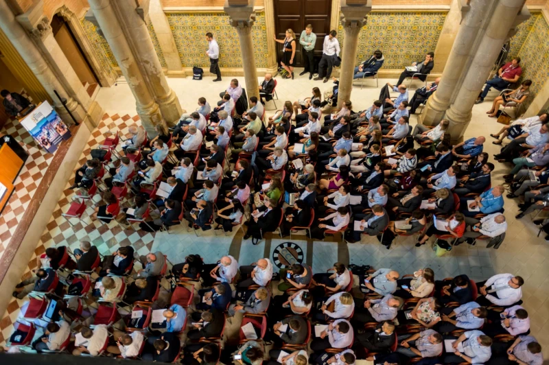
AET promotes networking and exchange of ideas, information and opportunities amongst members.
ETC Conference Papers
Conference Past Papers Repository
Redesign of urban roadspace in Europe considering all road uses
Seminar
Day 1 (13 Sep 2021), Session 1, TRAFFIC MANAGEMENT AND ROAD SPACE, 11:00 - 13:00
Status
Accepted, documents submitted
Submitted by / Abstract owner
Paulo Anciaes
Authors
Paulo Anciaes
Peter Jones
Short abstract
Comprehensive method for the allocation of roadspace, considering impacts on all road uses (both movement and 'place'). Method has 4 stages (option generation, public engagement, microsimulation, appraisal) and was applied in busy roads in 5 cities
Abstract
1. BACKGROUND
Urban roads in Europe are under pressure due to the need to accommodate increased mobility levels and reliance on 'just in time' deliveries and servicing. At the same time, governments are putting increased focus on developing attractive spaces to support active travel and street activities. In busy areas, roadspace is limited to meet all these demands, which means that roadspace allocation becomes a contentious issue. However, decisions for redesigning roads are made on an ad-hoc political basis and there are no methods to assess the desirability of different options.
2. OBJECTIVE
This presentation shows the results of a new method for the allocation of roadspace, considering the impacts on all road uses (both movement and 'place' uses) and economic, social, and environmental objectives. The method was developed by a consortium of universities, international associations of user groups (pedestrians, cyclists, bus companies) and the governments of five cities: London, Lisbon, Budapest, Malmo, and Constanta.
3. METHOD
Step 1: Generation of options for road redesign using two new tools. The first tool inputs the road uses to prioritize (e.g. buses moving) and those that should not be made worse off (e.g. pedestrians walking), as well as objectives to meet (e.g. road safety). The tool then selects suitable solutions from a database of 210 options. The second tool presents all combinations of design elements (e.g. bus lanes, footways), in a cross-section view of the road, that fulfil the specified priorities for road uses and objectives, while fitting in the available road width.
Step 2: Generation of further options in collaboration with the community. Participants are provided with a toolkit of blocks and acetates representing different design elements (e.g. bus stop, parking space), all at the same scale. Participants then experiment (negotiating with each other) with different arrangements that fit into the available road width.
Step 3: Micro-simulation of the generated options considering all road uses (including 'place' uses e.g. passengers waiting for buses, pedestrians window-shopping). Indicators of the effects on all road uses (e.g. delays) are calculated.
Step 4: Assessment of the options using a new appraisal tool incorporating a multi-criteria procedure. The tool also determines whether the options meet technical and political requirements (e.g. do not exceed environmental standards).
4. RESULTS
The method was applied in busy roads of the five cities during 2020 and early 2021. Some of the options generated with the online tools (Step 1 of the process) were 'out of the box' options of the type seldom considered in practice, although they meet policy requirements (as inputted in the new tools by city practitioners). This included the provision of flexible space for short-term use of the kerbside (e.g. space for ride-hailing vehicles dropping-off passengers) and 'part-time' designs for evenings or weekends, when roadspace is temporarily but radically redesigned to allow for place activities (e.g. playing areas, parklets, food trucks).
The use of the design toolkit (Step 2) met with challenges, due to COVID19-related restrictions on face-to-face events. However, cities organised online events with a virtual version of the toolkit. These sessions were lively, leading to the generation of further design options. Designs were translated into road markings using specialized software (LineMap).
About 30 design options were generated in each city Option applied at different times of day. Some considered current demand conditions, others future conditions. The modelling and appraisal phases (Steps 3 and 4) helped to determine the suitability of each of the options. The options were presented for feedback from the public in an online platform (TraffWeb).
The tools themselves were evaluated by practitioners in the five cities and by road user groups. There was positive feedback about the ease of use and the range and usefulness of the information provided as output of the tools. Comments were used to refine the tools.
5. IMPLICATIONS FOR PRACTICE
The new tools bring objectivity to a process that is usually contentious and political. The method emphasizes the generation of options, usually the most neglected phase in all transport policies. The new option generation tools are openly available, bringing more transparency to the road redesign process, as any member of the public can easily generate their own options as possible alternatives to the ones presented by authorities. The appraisal tool is also free to use. The procedures for co-design, micro-simulation, and wider consultation were integrated into existing commercial software (Line Map, PTV Vissim, and TraffWeb) and can enhance the work of practitioners engaged in road redesign.
Programme committee
Intelligent Mobility - Management and Operation
Documents:

Association For
European Transport
Forester House
Doctors Lane
Henley-in-Arden
Warwickshire, UK
B95 5AW
+44 (0) 15 64 793552
VAT number: 710 1866 64
Conference Supporters & Endorsers



Legal Entity
The Association for European Transport is registered as an Association ('vereniging') with the Chamber of Commerce for Haaglanden in The Netherlands under company number 27170096.
Built on Zenario

